June 23, 2008
Loreto Bay Layer in Google Earth
I have released a layer of Loreto Bay's Founders' and Agua Viva neighborhoods that can be used in Google Earth -
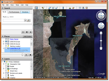
Install Google Earth, then click the image
If you don't already have it, download and install the free application "Google Earth" from http://earth.google.com/. Then click on the image above to open the Loreto Bay Layer for Google Earth. If you are new to Google Earth, check out this tutorial.
History
- 6/28/2008: Added the Founders' Neighborhood layer, 20080628-Loreto-Bay-in-3D.kmz, 3.6 MB.
- Added the Founders' Neighborhood layer on a suggestion from Drew McNabb (FN 49) - thanks Drew!
- Now we have maps for both the Founders' Neighborhood and half of Agua Viva.
- Renamed this article the "Loreto Bay Layer in Google Earth".
- 6/24/2008: Released a tutorial that explains some of the features of Google Earth and the Agua Viva layer. Check it out here.
- 6/23/2008: First version released, 20071118-Loreto-Bay-in-3D.kmz, 1.8 MB. Included:
- Agua Viva Layer for Google Earth.
- 3D Model of Casa Brasil (the house we hope to build, located on our lot in Nopolo).
- AV 61 - with a picture of the owners, Barry and Patricia.
Comments
Post a comment